NEW Directions to Field
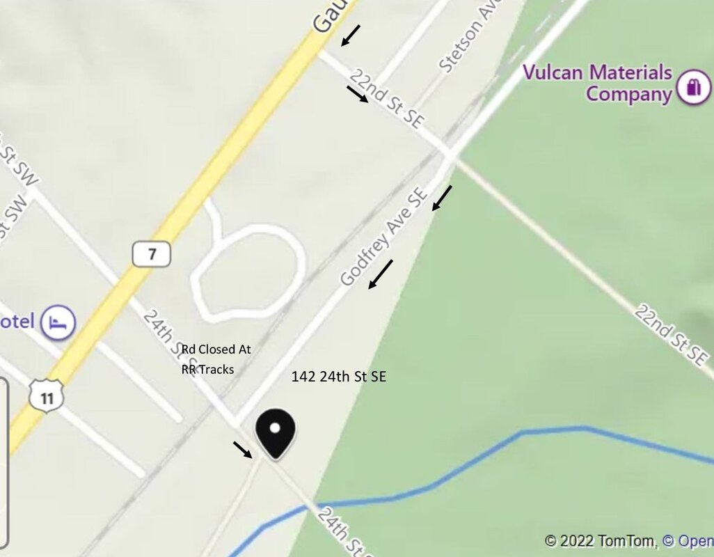
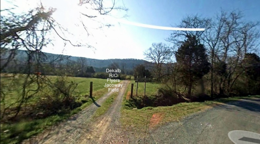
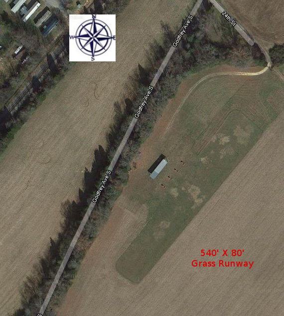
From Hwy 11 (Gault Ave S.) turn on 22nd St and continue over Railroad tracks to Godfrey Ave. Turn Right and follow on to 24th St SE to entrance to field straight ahead. Sign is posted. Address is 142 24th St SE on Bing Maps. 142 24th St, Ft Payne, Al on Google Maps Printable map
From Hwy 11 (Gault Ave S.) turn on 22nd St and continue over Railroad tracks to Godfrey Ave. Turn Right and follow on to 24th St SE to entrance to field straight ahead. Sign is posted. Address is 142 24th St SE on Bing Maps. 142 24th St, Ft Payne, Al on Google Maps Printable map
Lat Long 34.416650 -85.741890